
The NCEI gravity database includes land and marine gravity surveys, grids, models, and geoids. Data parameters include latitude, longitude, Bouguer Gravity Anomaly (land), Free-air Anomaly (ocean), and observed gravity and elevation. Each dataset contains documentation, including the source contributor.
Approximately 70 percent of the data are observed values from regional station data collections (separated primarily by contributors) and absolute gravity measurements. The rest of the collection is made up of grids and other derived summary datasets.
A standard format description for the land gravity data preserves fields unique to a specific data collection. Marine gravity data are stored in the MGD77 format. Standard terminology, minimum/maximum values, and histogram distributions are available for each parameter.
| Name | Extent | Summary | Image/ Plot |
Data |
|---|---|---|---|---|
| Africa: Southern Area | International | View | View | Access |
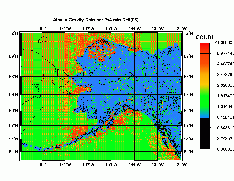
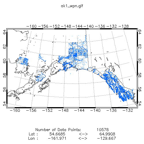
| Alaska Data Density Grid 2' x 4' | Geoid | View | View | Access |
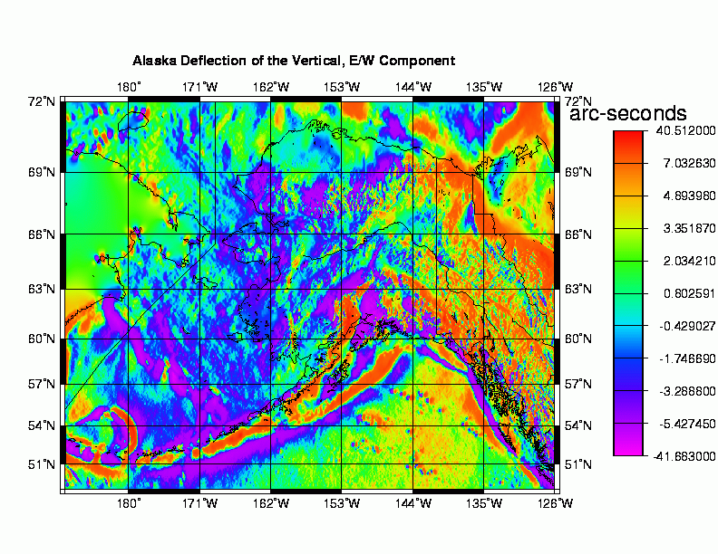
| Alaska East-West Deflections (DEFLEC96) 2' x 4' | Geoid | View | View | Access |
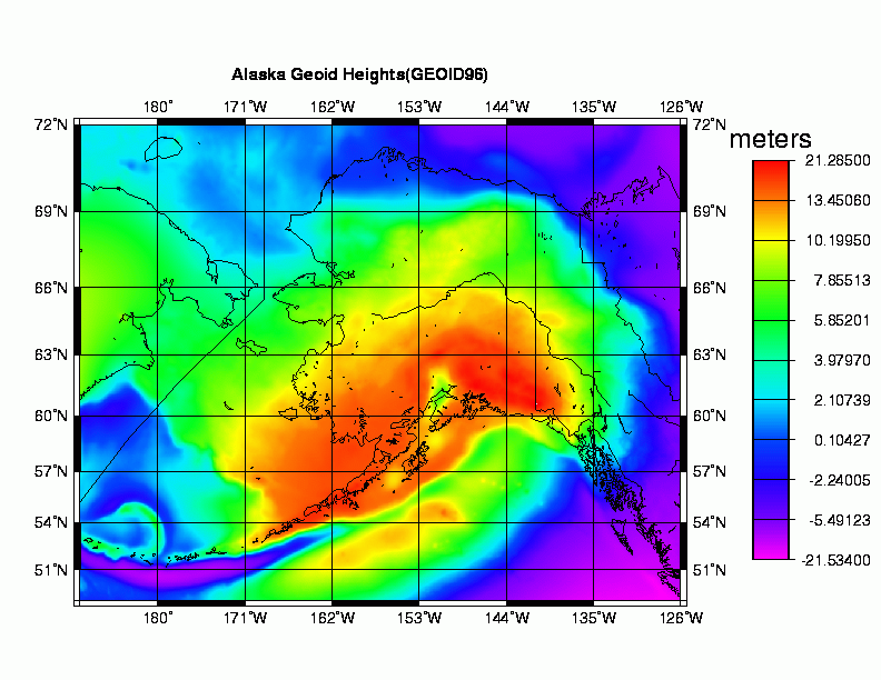
| Alaska Geoid Heights (GEOID96) 2' x 4' | Geoid | View | View | Access |
| Alaska Interior Bouguer Gravity Anomaly Grid (10 km max interpolation) | U.S. | View | Access | |
| Alaska Interior Bouguer Gravity Anomaly Grid (filled grid) | U.S. | View | Access | |
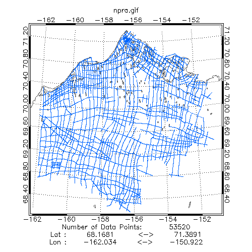
| Alaska National Petroleum Reserve | U.S. | View | View | Access |
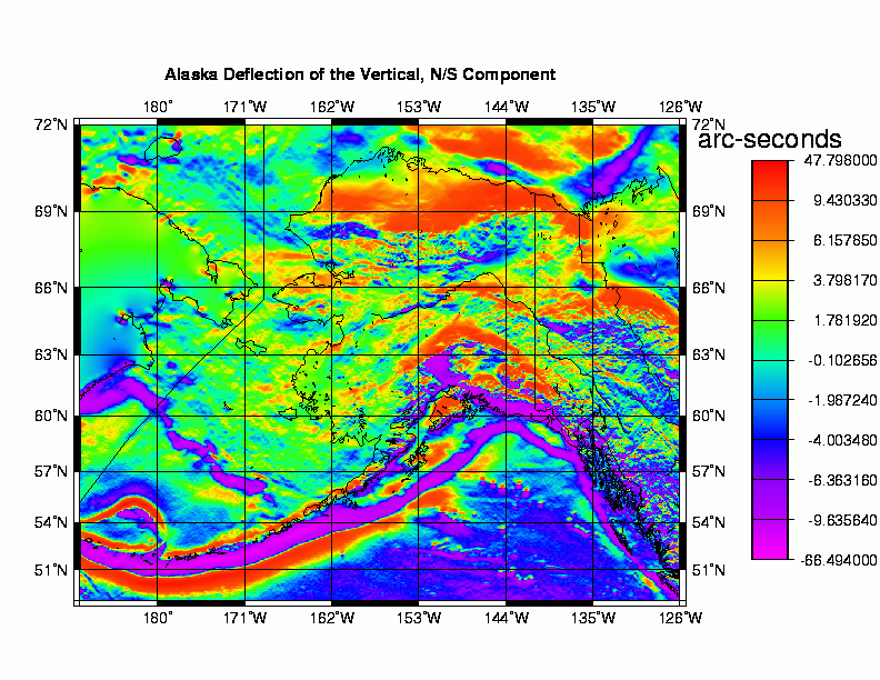
| Alaska North-South Deflections (DEFLEC96) | Geoid | View | View | Access |
| Alaska Terrain Corrected Free Air Anomalies | Geoid | View | View | Access |
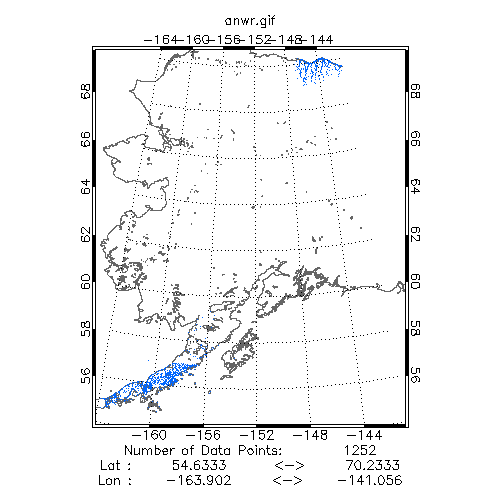
| Alaska: ANWR and Alaska Peninsula | U.S. | View | View | Access |
| Alaska: Gravity Station Data | U.S. | View | View | Access |
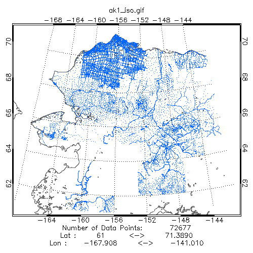
| Alaska: Isostatic 25 km thickness | U.S. | View | View | Access |
| Alaska: Isostatic 30 km thickness | U.S. | View | View | Access |
| Alaska: Southwestern Area (Altimetric) | U.S. | View | View | Access |
| Alaska: Southwestern Area (Topographic) | U.S. | View | View | Access |
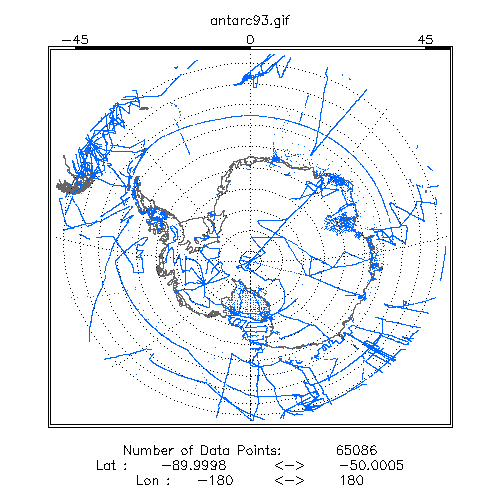
| Antarctic: Defense Mapping Agency (DMA) Gravity Station Data | International | View | View | Access |
| Bolivia Bouguer Anomaly Grid | International | View | View | Access |
| Bolivia Gravity Station Data | International | View | View | Access |
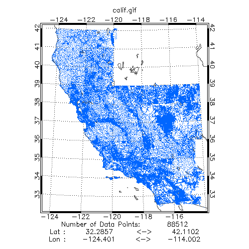
| California and Southern Nevada | U.S. | View | View | Access |
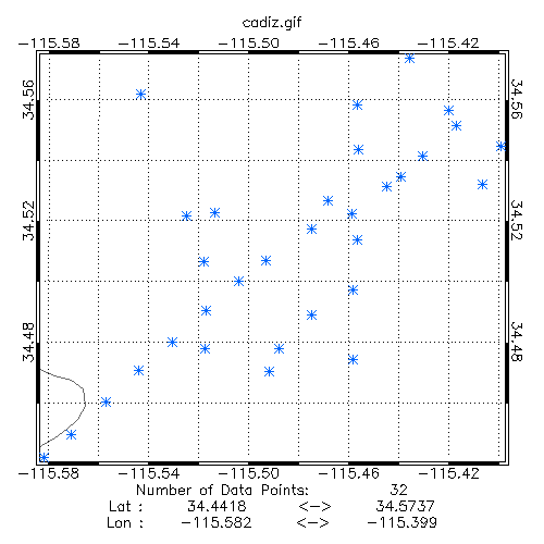
| California: Cadiz Gravity Station Data | U.S. | View | View | Access |
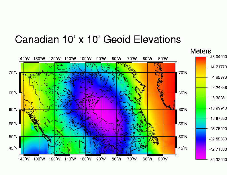
| Canada Gravity Geoid | International | View | View | Access |
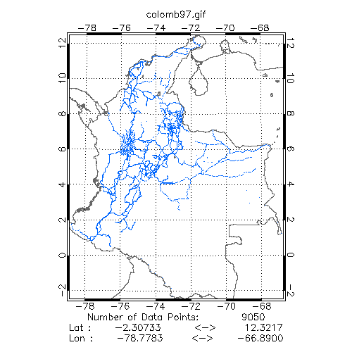
| Colombia Gravity Station Data | International | View | View | Access |
| Earth Geopotential Model (EGM) 1996 | Geoid | View | Access | |
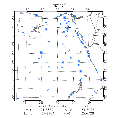
| Egypt | International | View | View | Access |
| Former Soviet Union (FSU) Gravity Data | International | View | Access | |
| GEOSAT Southern Ocean Gravity Anomalies (Altimetric) | International | View | Access | |
| GEOSAT44: High-Accuracy, High-Resolution Gravity Profiles (from the first 2 years of the GEOSAT Exact Repeat Mission) (ascending) | Global | View | Access | |
| GEOSAT44: High-Accuracy, High-Resolution Gravity Profiles (from the first 2 years of the GEOSAT Exact Repeat Mission) (descending) | Global | View | Access | |
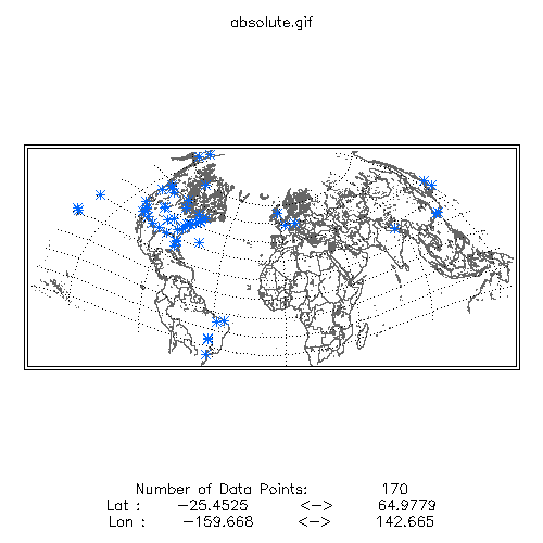
| Global Absolute Gravity Station Data | Absolute Measurements | View | View | Access |
| Hawaiian Islands East-West Deflections (DEFLEC96) | Geoid | View | View | Access |
| Hawaiian Islands Geoid Heights (GEOID96) | Geoid | View | View | Access |
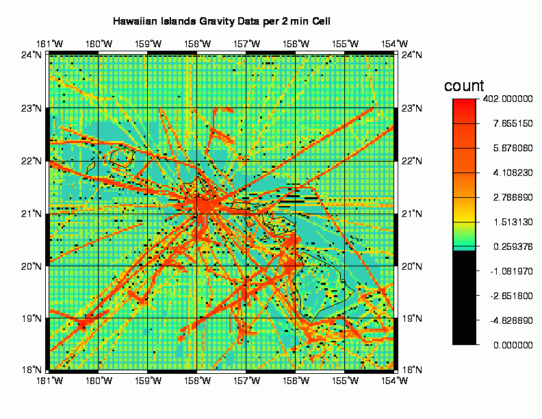
| Hawaiian Islands Gravity Data Density Grid (1996) | Geoid | View | View | Access |
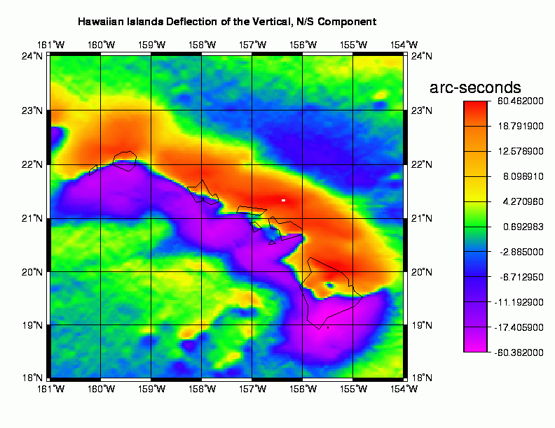
| Hawaiian Islands North-South Deflections (DEFLEC96) | Geoid | View | View | Access |
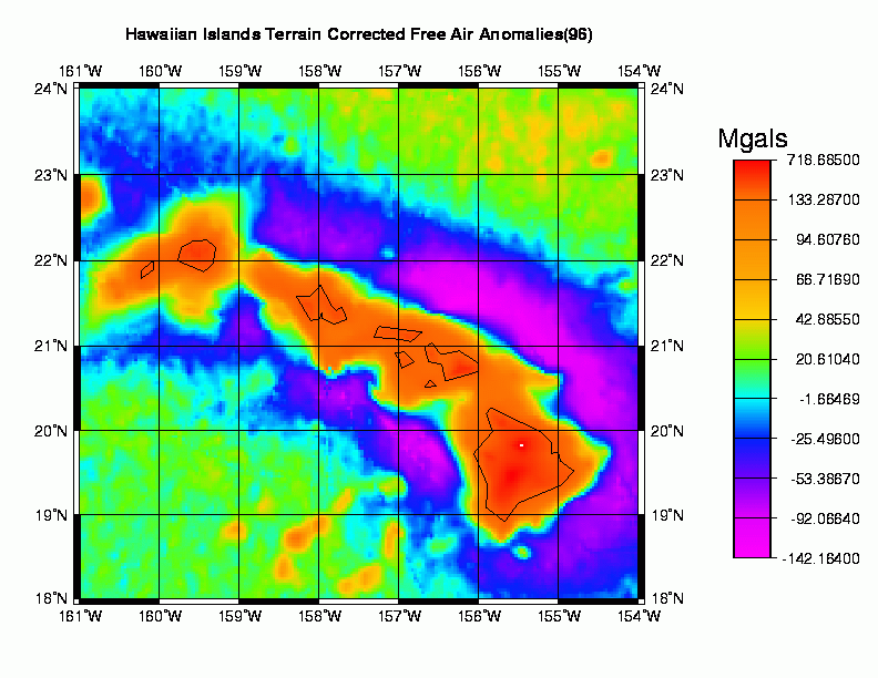
| Hawaiian Islands Terrain Corrected Free Air Anomalies | U.S. | View | View | Access |
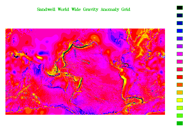
| Haxby Worldwide Gravity Anomaly Grid | Global | View | View | Access |
| High Density Geosat/GM Altimeter Data | Global | View | View | Access |
| Idaho Batholith Study Area Bouguer Anomaly Grid | U.S. | View | View | Access |
| Idaho Batholith Study Area Gravity Station Data | U.S. | View | View | Access |
| Idaho Batholith Study Area Isostatic 30km thickness | U.S. | View | View | Access |
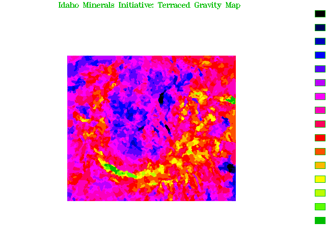
| Idaho Batholith Study Area Terrace-Density Grid | U.S. | View | View | Access |
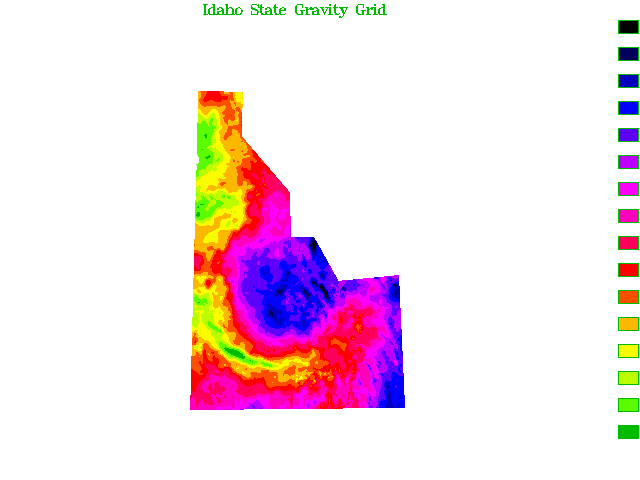
| Idaho Bouguer Gravity Grid | U.S. | View | View | Access |
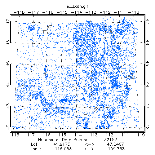
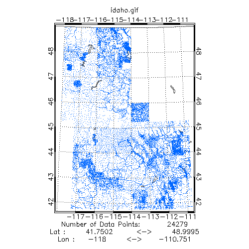
| Idaho Gravity Station Data | U.S. | View | View | Access |
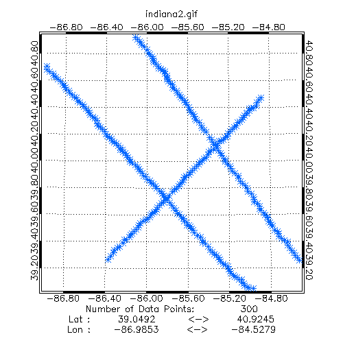
| Indiana (1989) | U.S. | View | View | Access |
| Indiana (1993) | U.S. | View | View | Access |
| Japan Gravity Station Data | International | View | View | Access |
| Maine Bouguer Gravity Grid | U.S. | View | View | Access |
| Maine Offshore Gravity Station Data | U.S. | View | View | Access |
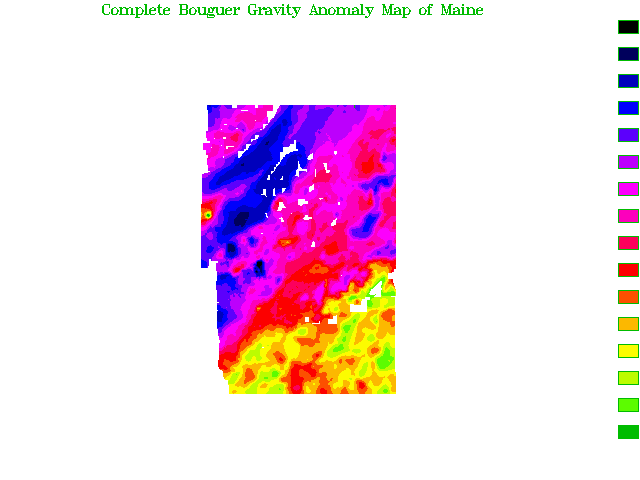
| Maine Onshore Complete Bouguer, Free Air, and Gravity Station Data | U.S. | View | View | Access |
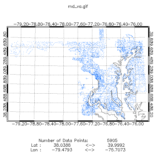
| Maryland / Virgina Gravity Station Data | U.S. | View | View | Access |
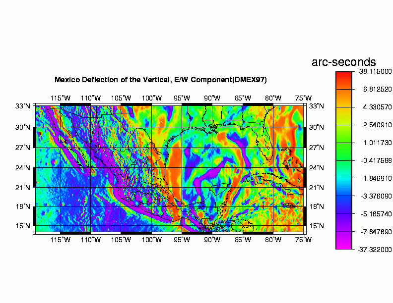
| Mexico East-West Deflections (DMEX97) | Geoid | View | View | Access |
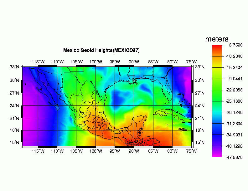
| Mexico Geoid Heights (MEXICO97) | Geoid | View | View | Access |
| Mexico Gravity Data Density Grid 2' x 2' (1997) | Geoid | View | View | Access |
| Mexico North-South Deflections (DMEX97) | Geoid | View | View | Access |
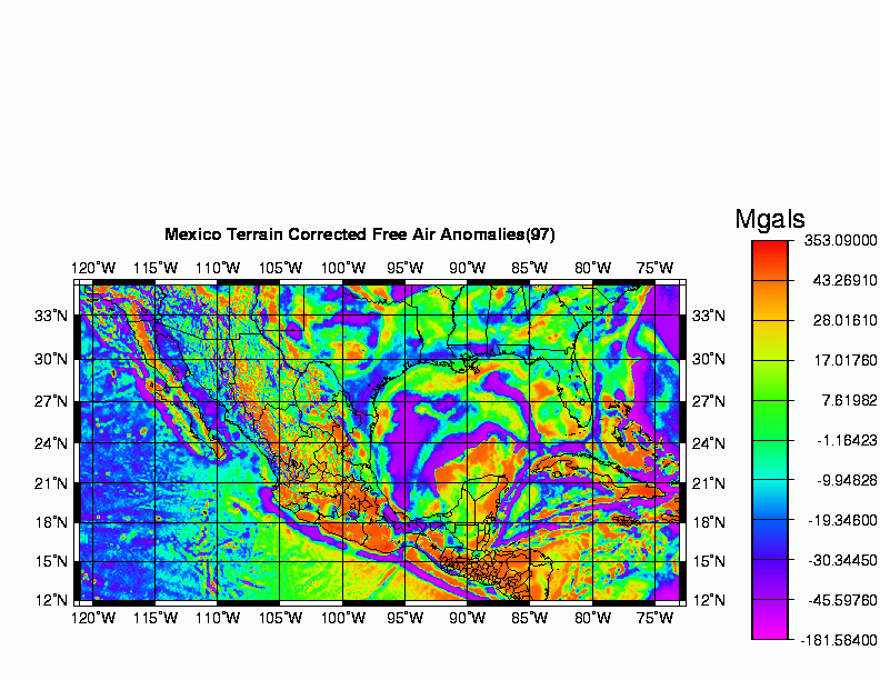
| Mexico Terrain Corrected Free Air Anomalies (1997) | Geoid | View | View | Access |
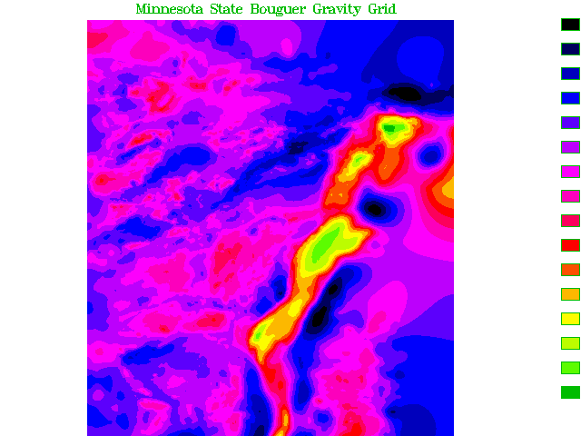
| Minnesota Bouguer Anomaly Grid | U.S. | View | View | Access |
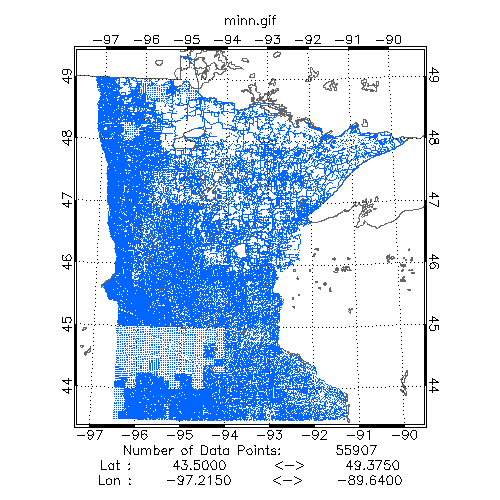
| Minnesota Gravity Station Data | U.S. | View | View | Access |
| Nevada Bouguer Gravity Grid | U.S. | View | View | Access |
| Nevada Gravity Station Data | U.S. | View | View | Access |
| Nevada Isostatic Gravity Grid | U.S. | View | View | Access |
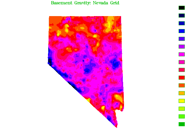
| Nevada Isostatic Residual Gravity Over Basement | U.S. | View | View | Access |
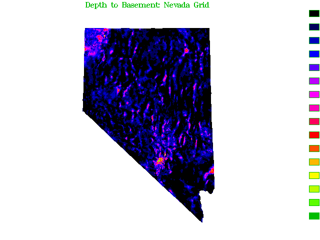
| Nevada Thickness of Cenozoic Deposits | U.S. | View | View | Access |
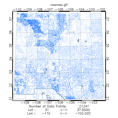
| New Mexico Gravity Station Data | U.S. | View | View | Access |
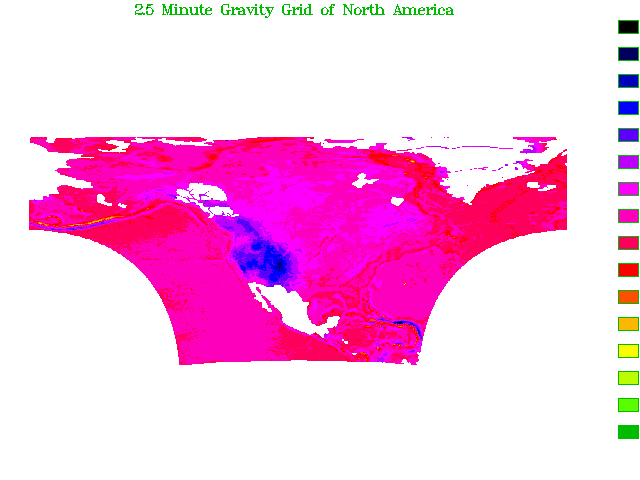
| North America: 2.5' Bouguer and Free Air Gravity Grid | U.S. | View | View | Access |
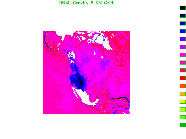
| North America: Decade of North American Geology (DNAG) | International | View | View | Access |
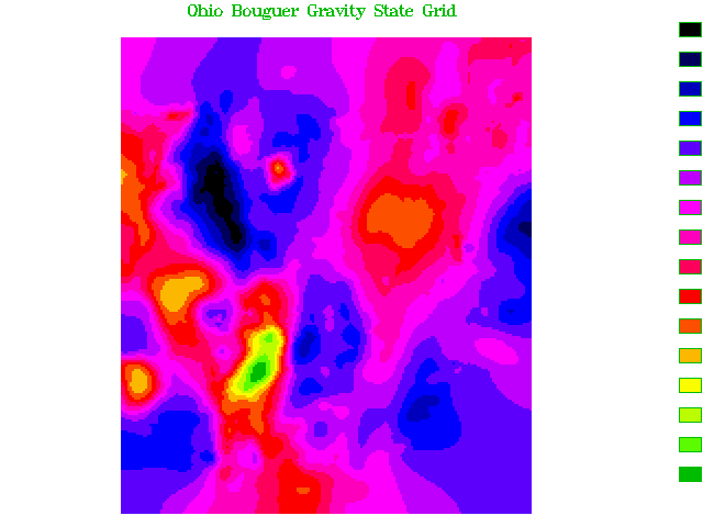
| Ohio Bouguer Gravity Grid | U.S. | View | View | Access |
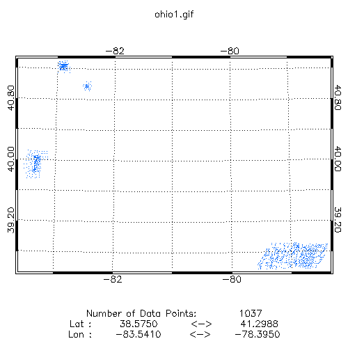
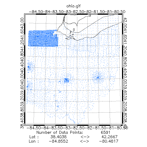
| Ohio Gravity Station Data (1992) | U.S. | View | View | Access |
| Ohio Gravity Station Data (1993) | U.S. | View | View | Access |
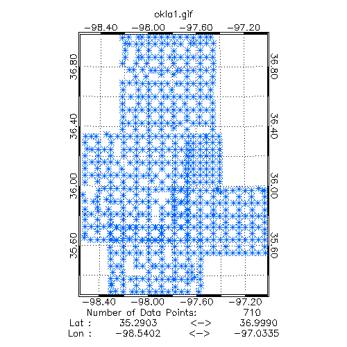
| Oklahoma Gravity Station Data | U.S. | View | View | Access |
| Oregon Gravity Station Data | U.S. | View | View | Access |
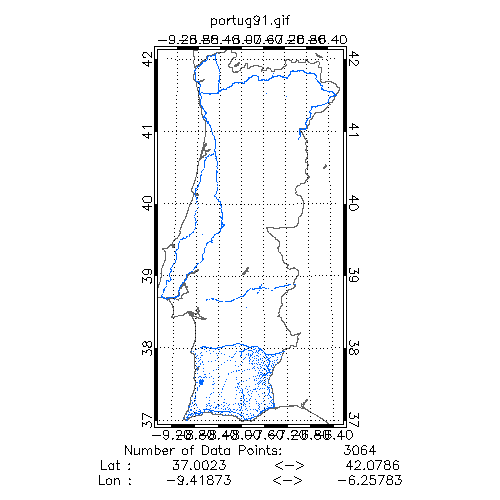
| Portugal Gravity Station Data | International | View | View | Access |
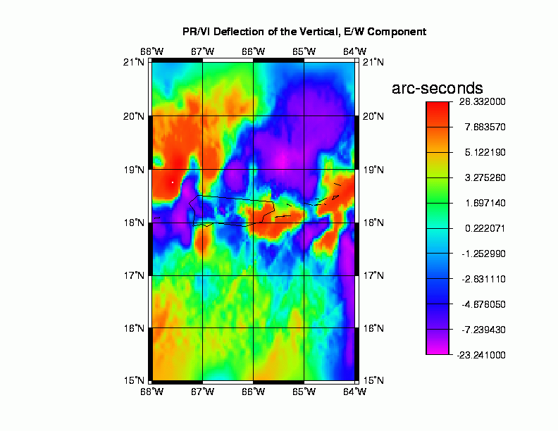
| Puerto Rico and the Virgin Islands East-West Deflections (DEFLEC96) | Geoid | View | View | Access |
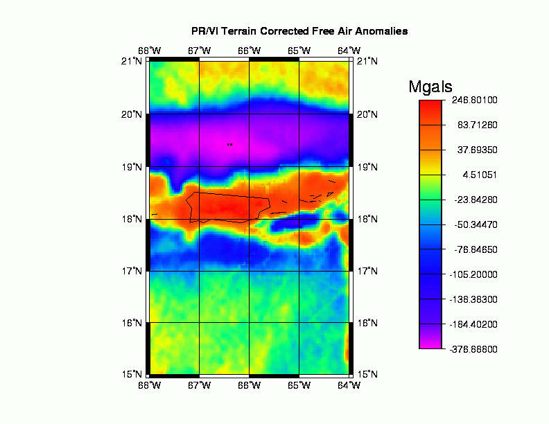
| Puerto Rico and the Virgin Islands Free Air Anomalies (1996) | Geoid | View | View | Access |
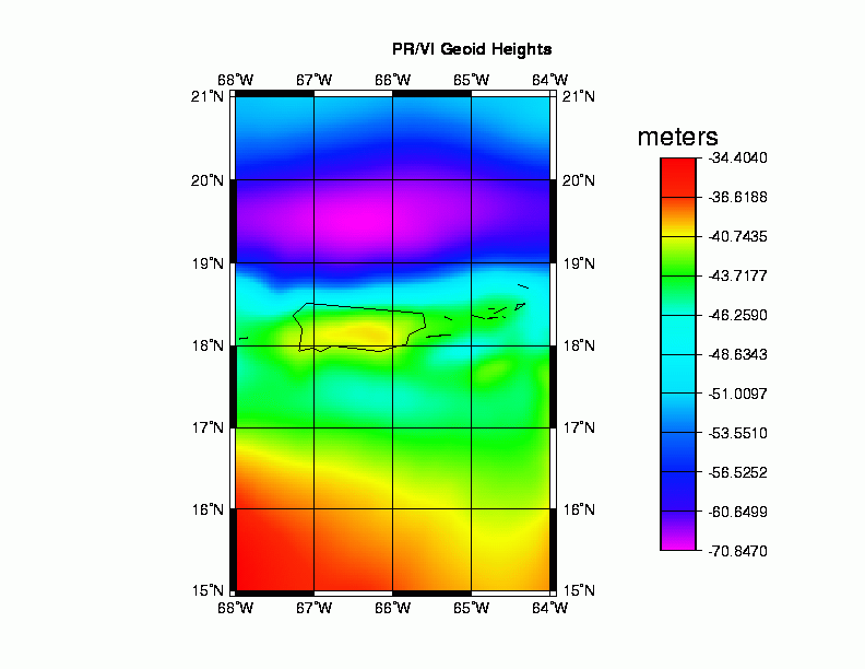
| Puerto Rico and the Virgin Islands Geoid Heights (GEOID96) | Geoid | View | View | Access |
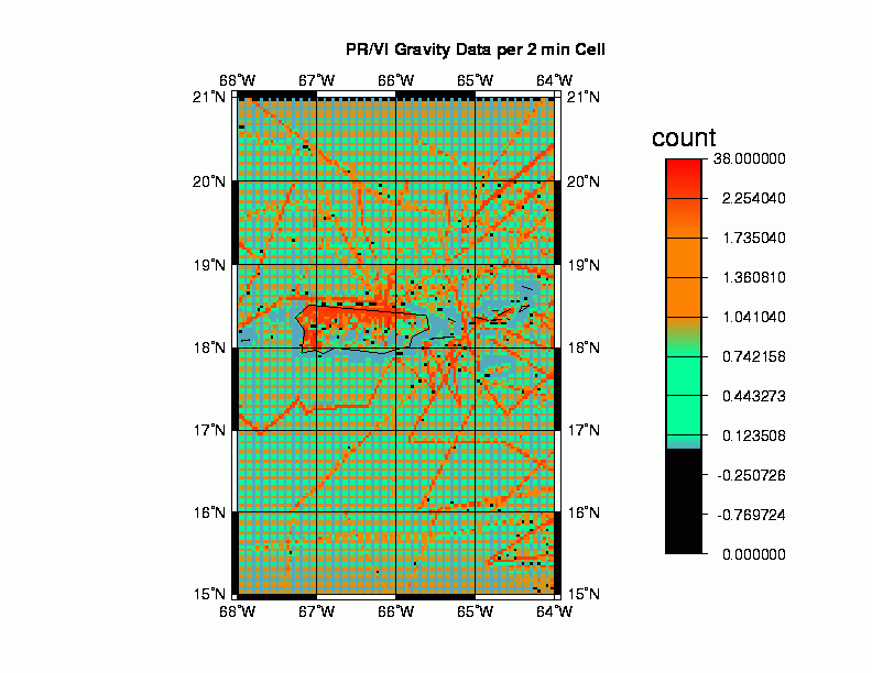
| Puerto Rico and the Virgin Islands Gravity Data Density Grid (1996) | Geoid | View | View | Access |
| Puerto Rico and the Virgin Islands North-South Deflections (DEFLEC96) | Geoid | View | View | Access |
| RAPP92 Global Mean Free-Air Gravity Anomaly Grid | Global | View | Access | |
| RAPP92 Global Sea Surface Height Grid | Geoid | View | Access | |
| Russia (former U.S.S.R) Magnetic Anomaly Data | International | Access | ||
| South America Gravity Station Data (1993) | International | View | View | Access |
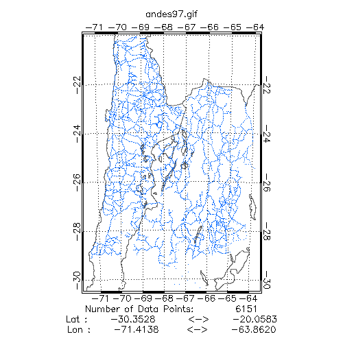
| South America: Andes Gravity Station Data (1997) | International | View | View | Access |
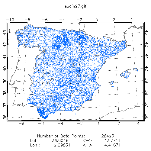
| Spain Gravity Station Data | International | View | View | Access |
| TerrainBase Global Terrain Model | Global | View | Access | |
| Terrestrial Mean Free-Air Anomalies (1-deg x 1-deg) | Global | View | Access | |
| Terrestrial Mean Free-Air Anomalies (30' x 30') | Global | View | Access | |
| U.S. 2.5' Isostatic Gravity Grid 30km thickness | U.S. | View | View | Access |
| U.S. Basin and Range Province USGS Grids | U.S. | View | Access | |
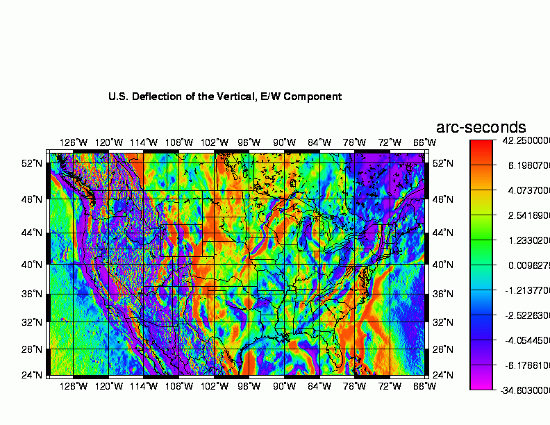
| U.S. East-West Deflections (DEFLEC96) | Geoid | View | View | Access |
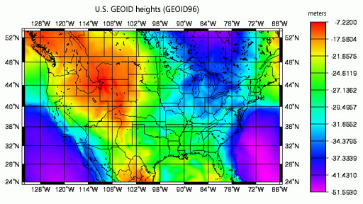
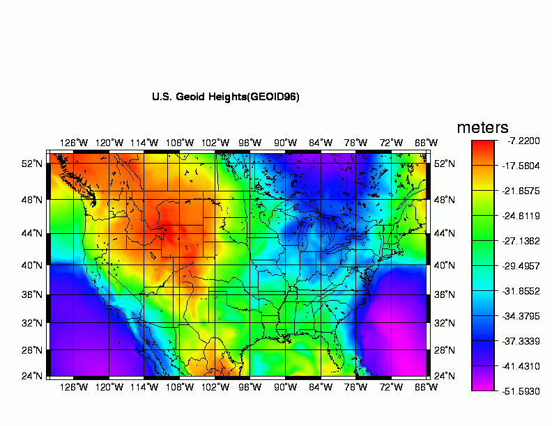
| U.S. Geoid Heights (GEOID96) | Geoid | View | View | Access |
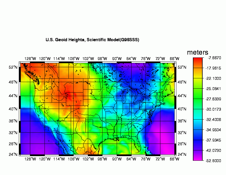
| U.S. Geoid Heights, Scientific Model (G96SSS) | Geoid | View | View | Access |
| U.S. Gravity Data Density Grid (1996) | Geoid | View | View | Access |
| U.S. Isostatic Regional Gravity Grid 30km thickness | U.S. | View | View | Access |
| U.S. Isostatic Residual Gravity Grid 30km thickness | U.S. | View | View | Access |
| U.S. NGS Gravity Network Data (1990) | U.S. | View | View | Access |
| U.S. NGS Gravity Station Data (1999) | U.S. | View | View | Access |
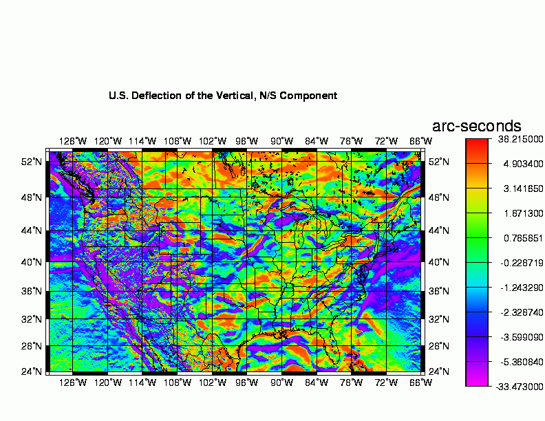
| U.S. North-South Deflections (DEFLEC96) | Geoid | View | View | Access |
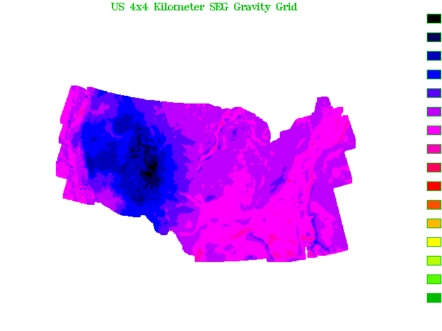
| U.S. SEG Bouguer Gravity Anomaly Grid | U.S. | View | View | Access |
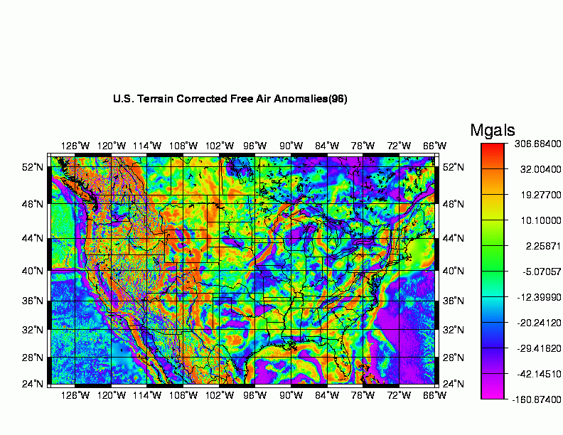
| U.S. Terrain Corrected Free Air Anomalies (1996) | Geoid | View | View | Access |
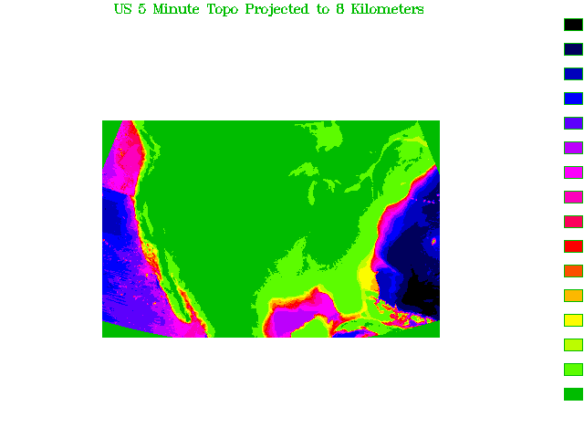
| U.S. Topographic Grid | U.S. | View | View | Access |
| Utah Bouguer Gravity Grid | U.S. | View | View | Access |
| Utah Gravity Station Data | U.S. | View | View | Access |
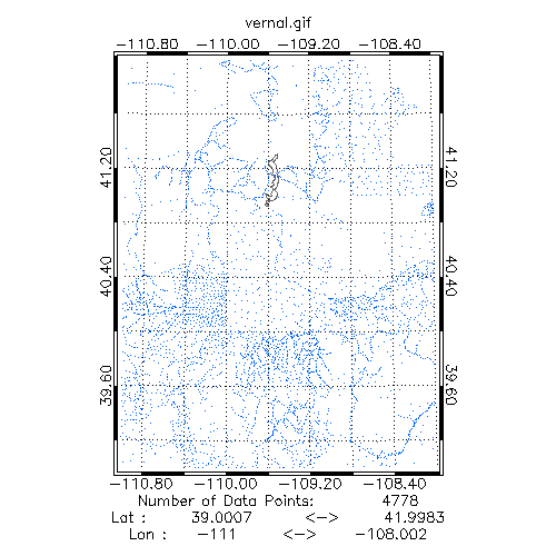
| Utah: Vernal Gravity Station Data | U.S. | View | View | Access |
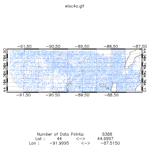
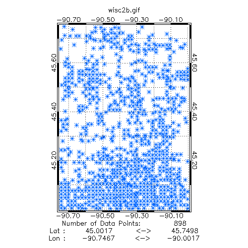
| Wisconsin: Ashland Area Gravity Station Data | U.S. | View | View | Access |
| Wisconsin: Marshfield Area Gravity Station Data | U.S. | View | View | Access |
| Wisconsin: Prentice Area Gravity Station Data | U.S. | View | View | Access |
| Wisconsin: Rhinelader Area Gravity Station Data | U.S. | View | View | Access |
| Wisconsin: Sawyers Area Gravity Station Data | U.S. | View | View | Access |
| Wisconsin: Wisconsin Rapids Area Gravity Station Data | U.S. | View | View | Access |
| Worldwide: DMA Reference Base Station Network Data | Global | View | View | Access |
- Marine Trackline Geophysics: Search gravity, bathymetric, magnetic, and seismic navigation data from 1953 to present.
- Gravity Field Atlas of the Southern Ocean (1992; Report MGG-7)
- Downward-continued Gravity, RMS Gravity Roughness and Residual Roughness of the World's Ocean Crust
- Dictionary of Gravity Terms
- NOAA's National Geodetic Survey provides U.S. estimated gravity