
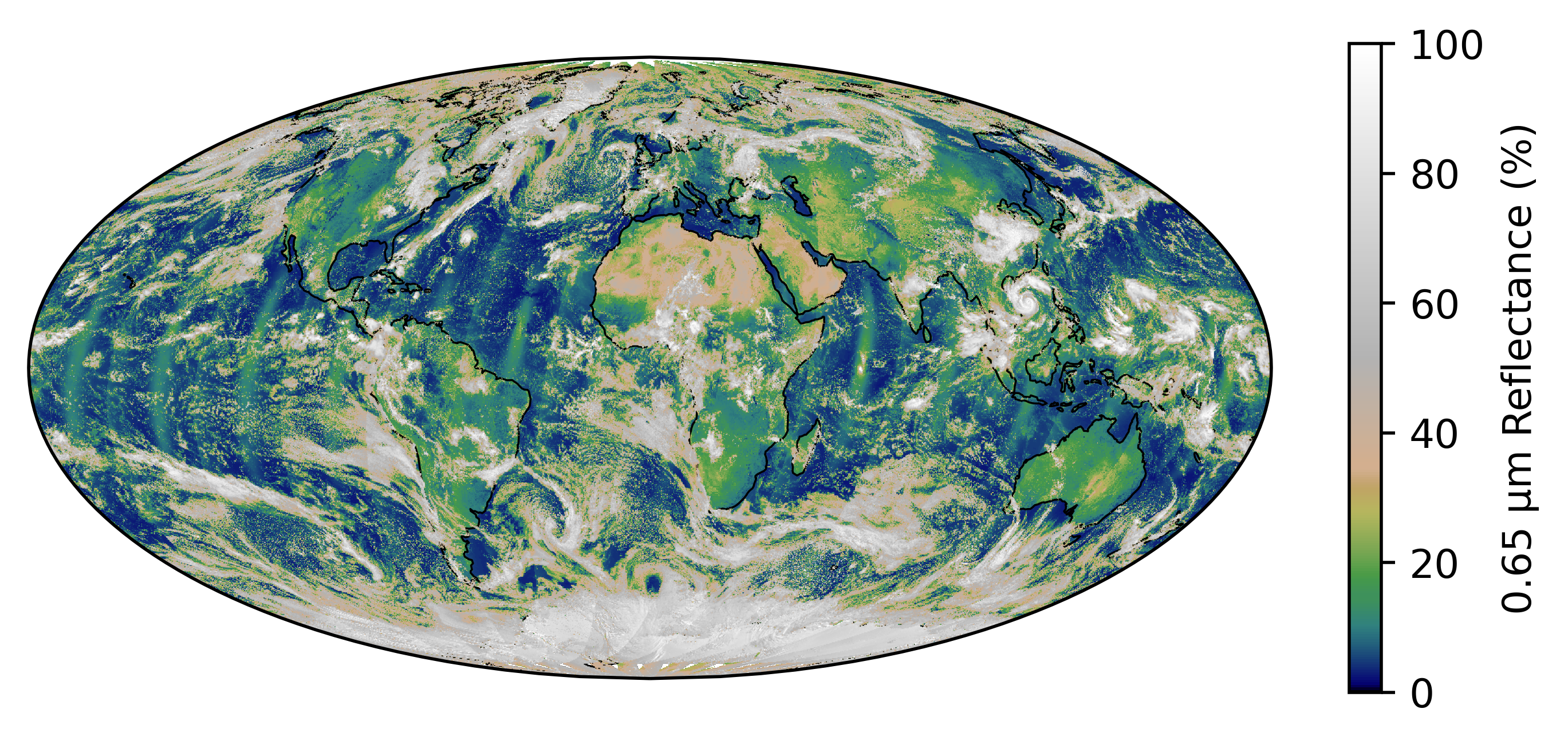
The Pathfinder Atmospheres Extended (PATMOS-x) Fundamental Climate Data Record (FCDR) provides data for multiple radiance and reflective properties collected by the following satellite instruments:
- Advanced Very High-Resolution Radiometer (AVHRR)
- Visible Infrared Imaging Radiometer Suite (VIIRS)
- High-resolution Infra-Red Sounder (HIRS)
- Cross-track Infrared Sounder (CrIS)
- Infrared Atmospheric Sounding Interferometer (IASI)
The data record offers a unique, long-term resource for multi-decadal climate studies. PATMOS-x improved the quality of the dataset by recalibrating and renavigating the data. The resulting CDR supports climate variability studies over the period of record. The final record has global coverage at a 0.1°x0.1° equal angle grid and extends from 1979–present.
To help the project receive continued support, updates, and improvement, tell us how you use PATMOS- x FCDR data by completing our optional User Registration Form.
Technical Note
Data quality note: The 13.3 micron channel on the NOAA-18 HIRS instrument produced corrupt data for a period in 2023. The corruption began gradually January 12th and becomes severe by January 16th. The behavior subsides and the data looks normal by April 29th. Inconsistencies in cloud detection and height assignment can be seen in NOAA-18 PATMOS-x files for this period.
The AVHRR instrument does not have an onboard calibration system for the Solar reflectance channels (0.63-, 0.86- and 1.6-microns). As a result, the most recent data relies on an extrapolation of the existing calibration (Heidinger et al. 2010). The most recent data contain the word 'preliminary' in the file name to indicate that the values may change slightly as new calibration coefficients become available. Once the calibration for a file is unlikely to change the 'preliminary' is removed, and it is determined to be in its final version. The calibration process is performed approximately once a year at the University of Wisconsin - Madison. As a result, there is often more than one version of 'preliminary' files for the most recent data. To avoid confusion, National Centers for Environmental Information (NCEI) archives only the first 'preliminary' version of data until the final version is available.