
This Climate Data Record (CDR) combines datasets for Leaf Area Index (LAI) and Fraction of Absorbed Photosynthetically Active Radiation (FAPAR), two biophysical variables that can be used to evaluate vegetation stress, forecast agricultural yields, and other modeling and resource management applications. LAI tracks the one-sided green leaf area per unit of ground surface area, while FAPAR quantifies the solar radiation absorbed by plants within the photosynthetically active radiation (PAR) spectral region.
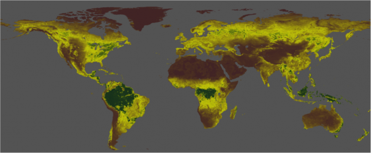
The LAI/FAPAR CDR generates a daily product on a .05° by .05° grid using data derived from Advanced Very High Resolution Radiometer (AVHRR) sensors from 1981–2013 and from the Visible Infrared Imaging Radiometer Suite (VIIRS) sensors from 2014 to 10 days before the present.
To help the project receive continued support, updates, and improvement, tell us how you use LAI/FAPAR CDR data by completing our optional User Registration Form.